
Destinations
❮Main Menu
INVERNESS - NEIGHBORHOODS
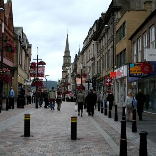
City Center
The city center is located on the west and east banks of the River Ness, with most of the commercial activity occurring on the east bank, in and around Inverness railway station and Eastgate Shopping Centre. This area is about .15 square miles in size and is very compact and walkable. The west bank of the city center is about a third of the size as the east bank. Major sights on the west bank include Inverness Cathedral and The Scottish Kiltmaker Visitor Centre. The Old High Church, Abertarff House, The Steeple, Inverness Museum and Art Gallery and Inverness Castle are located here.

South Kessock and Merkinch
These two neighborhoods comprise the northern part of Inverness, located on Moray Firth as it becomes Beauly Firth. This part of town was once considered poor and undesirable and was just referred to by locals as `The Ferry` (before the A9 motorway linked South Kessock with North Kessock, a ferry would run between the two communities). While it is still home to some of the poorer housing estates in the Highlands, the area is undergoing the process of gentrification as we speak, so it is not uncommon to see large houses next to council estates (the UK`s version of public housing). Merkinch is home to one of the largest flora and fauna reserves in Scotland (the northernmost one in the Highlands).

Dalneigh
Dalneigh is the section of Inverness which is located west of the city center and east of the Caledonian Canal. At the end of World War II, Dalneigh grew rapidly as a residential area, in order to accommodate troops coming home from continental Europe. Before the houses were built, Dalneigh was mostly farmland. Now it is home to Inverness`s middle and upper-middle classes, who live in terraced houses on wide avenues.

Ballifeary
The mile of land south of the city center and Dalneigh is called Ballifeary, and is home to Whin Park and the Ness Islands. The first buildings west of the River Ness were built in this area, and could be considered Inverness`s first-ever residential neighborhood. Originally the people who lived here would look out for signs of impending danger, as Inverness was no stranger to violent sieges. Today, it is a quiet residential area in close proximity to lots of fun activities, landmarks and amenities.

Kinmylies and Scorguie
West of the Caledonian Canal, you will find the area of Kinmylies, which grew as a residential area in the 1970s when the local government funded an initiative which allowed factory workers to rent to own flats and houses here. Nearby Scorguie is the neighborhood where Ship Space, the city`s maritime museum, is located. The further west you travel, the more rural the area becomes.

Raigmore, Cradlehall, Westhill, and Culloden
Raigmore lies to the north and east of the city center, and is a working-class area with an industrial park located in the area and housing estates (detached homes) located further east. Cradlehall is home to a commercial office park, and Westhill is a highly sought-after residential suburb with upper-class homes along the road to Culloden, a small village where its residents live in flats or single-family homes.